← Home · Roadway

Flexible Pavement Design for Miami’s Limestone and Sandy Soils

Together, we solve the challenges of tomorrow.

LEARN MORE →

Miami sits barely six feet above sea level on a porous limestone ridge between the Everglades and Biscayne Bay. With over 440,000 residents and annual rainfall exceeding 60 inches, pavement here faces a constant battle against water intrusion and base saturation. Flexible pavement design in Miami demands more than a standard cross-section — it must account for the oolitic Miami Limestone that can dissolve into sinkholes and the saturated sandy fill common in western developments. Our team tackles these conditions using layered asphalt systems that flex rather than crack under differential settlement. For projects near the coast, we combine pavement analysis with deep excavation monitoring when underground utilities must pass beneath roadways without compromising the structural section.

Miami’s pavement fails from the bottom up — control the subgrade moisture, and the asphalt lasts twice as long.

How we work

The subsurface across Miami-Dade County varies dramatically within a single mile. Coastal barrier islands like Miami Beach sit on quartz sand and shell fragments, while inland areas toward Doral and Sweetwater lie on Fort Thompson Formation limestone with intermittent soft organic lenses. A flexible pavement section built on saturated Miami sand requires a substantially different structural number than one placed on caprock. We design per the Florida Department of Transportation Flexible Pavement Design Manual and AASHTO 1993 methodology, layering hot mix asphalt over a stabilized subgrade. When subgrade CBR drops below 3 in low-lying areas, we specify geogrid reinforcement or lime stabilization to prevent rutting. In commercial lots where heavy truck traffic is expected, the CBR road design approach provides the empirical backbone for determining layer thicknesses that survive Miami’s monsoon-season saturation cycles.
Flexible Pavement Design for Miami’s Limestone and Sandy Soils
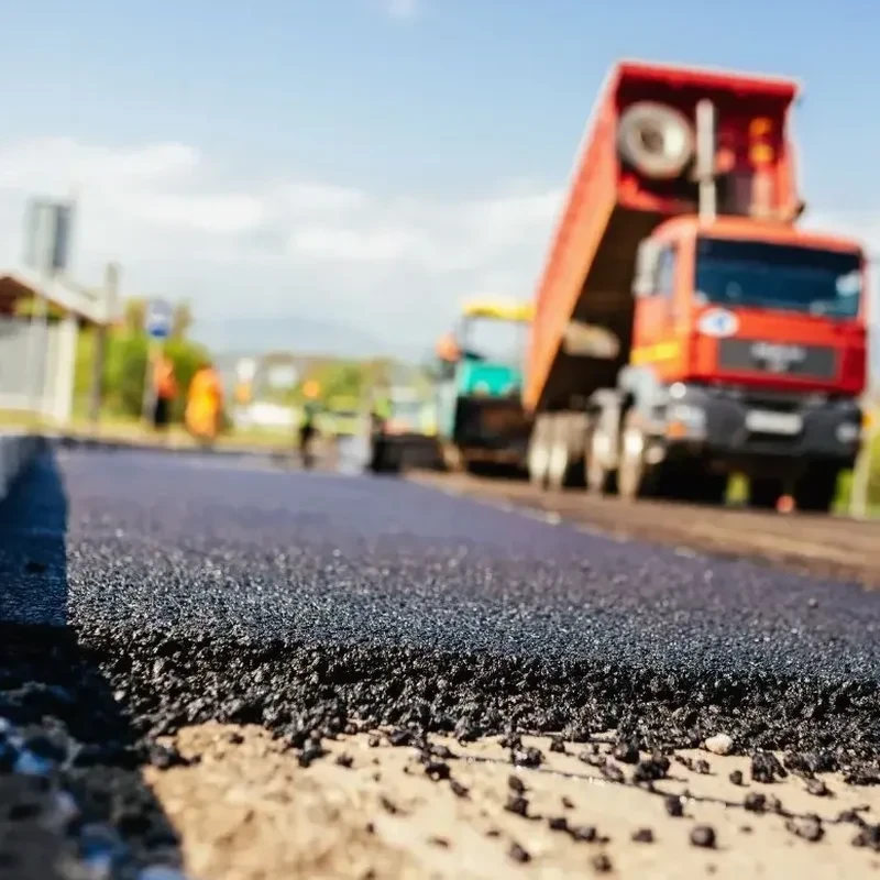
Technical reference image — Miami

Local considerations

Compare a parking lot in Coral Gables with one in Homestead. The Gables sits on higher ground with better-draining oolite, while Homestead deals with deeper organic muck and a water table that rises to within 12 inches of the surface after heavy rain. Those two sites demand entirely different flexible pavement strategies. The biggest risk we see across Miami is underestimating the seasonal water table fluctuation — a pavement section designed for April conditions may be submerged by September. Base pumping, asphalt stripping, and alligator cracking appear within two years if the drainage layer is underspecified. On projects where the subgrade is borderline, we often recommend a plate load test to verify the modulus of subgrade reaction before finalizing the pavement design, because a failed parking lot in Miami costs three times more to reconstruct than to engineer correctly the first time.

Need a geotechnical assessment?

Reply within 24h.

Email: contact@geotechnical-engineering1.org

Technical data

ParameterTypical value
Design Traffic (ESALs)0.5 – 30 million
Hot Mix Asphalt Layers2 – 4 structural lifts
Structural Number (SN)3.0 – 6.5 typical
Subgrade CBR Minimum3% (untreated), 6% (stabilized)
Base CourseLimerock (LBR 100) or graded aggregate
Drainage Coefficient0.8 – 1.0 (high saturation zones)
Design Life20 years (FDOT standard)

Related services

01

Subgrade CBR Testing

Laboratory soaked CBR per ASTM D1883 on Miami’s native sandy and limestone-derived soils to establish the design bearing value.

02

Pavement Structural Design

Layer thickness optimization using AASHTO 93 empirical methods, accounting for Miami’s high rainfall and shallow water table.

03

Drainage Analysis

Evaluation of edge drains, French drains, and permeable base layers to prevent saturation-induced pavement failure.

04

Mix Design Review

Verification of Superpave or Marshall mix designs for local aggregate sources and PG binder grades suited to South Florida heat.

Applicable standards

FDOT Flexible Pavement Design Manual (2024 edition), AASHTO Guide for Design of Pavement Structures (1993), ASTM D1883 – CBR of Laboratory-Compacted Soils, ASTM D1559 / D6927 – Marshall and Hveem Mix Design, Florida Building Code Chapter 18 (Soils and Foundations)

Common questions

How much does a flexible pavement design cost for a Miami project?

A typical flexible pavement design package for a commercial lot or residential subdivision in Miami-Dade ranges from US$1,600 to US$4,510, depending on the number of borings, traffic data complexity, and whether drainage design is included. Small projects with existing soil data fall at the lower end; full design with subgrade testing and multiple pavement sections reaches the upper range.

What makes Miami’s soil challenging for flexible pavement?

Two factors dominate: the near-surface water table and the variability between clean sand, porous limestone, and organic muck. Miami Limestone can develop solution cavities, and saturated sand loses bearing capacity quickly under repeated loading. A pavement design that ignores these local conditions will rut or crack within the first two rainy seasons.

Do you follow Florida DOT standards for private projects?

Yes. We apply FDOT Flexible Pavement Design Manual procedures and AASHTO 1993 methodology to private developments as well. Municipalities across Miami-Dade — from the City of Miami to Coral Gables and Doral — generally require FDOT-compliant pavement sections, so we design to that standard from the start.

What’s the minimum asphalt thickness for a Miami parking lot?

For light-duty parking lots on CBR 3 or better subgrade, we typically specify 1.5 to 2 inches of surface course over 6 to 8 inches of limerock base. Heavy truck traffic or poor subgrade pushes the structural section to 3 inches of asphalt over 10 to 12 inches of stabilized base. Every design is site-specific and verified against the projected ESAL loading.
Location and service area

We serve projects in Miami and surrounding areas.

View larger map